
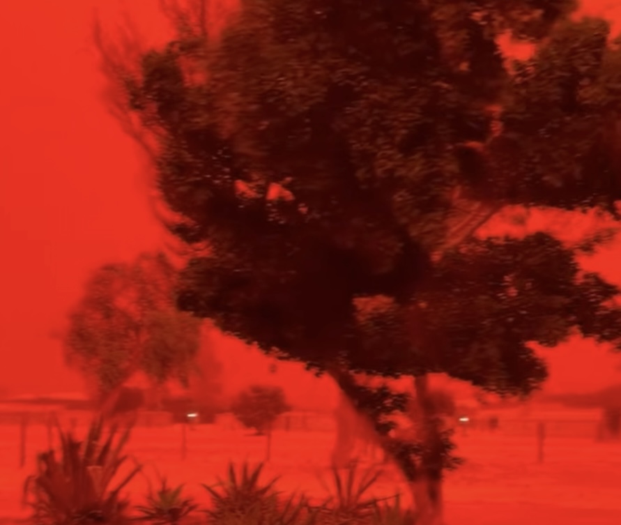
The skies over Shark Bay in Western Australia turned a vivid red ahead of the arrival of Tropical Cyclone Narelle on Friday. Fortunately, by Saturday, the storm had been downgraded to a subtropical low, reducing its potential impact on the area.
The shocking footage captured how daylight vanished in minutes as strong winds stirred up large clouds of iron-rich dust, turning the sky a deep crimson and reducing visibility to nearly zero.
Entire areas were reportedly engulfed as the air became thick and almost unbreathable, with the sky glowing an unnatural red-orange hue. Witnesses described the scenes as looking “not real anymore” as the dust storm swept through, driven by some of the strongest winds seen in a “long time.”
Queensland Premier David Crisafulli commented, “In many cases, it will be the strongest wind people have experienced in this part of the state for a long, long time.”
This dramatic phenomenon is believed to be caused by powerful winds lifting iron oxide-rich soil into the atmosphere, a process that is well-known in Australia’s dry regions.
This event occurred as ex-Tropical Cyclone Narelle continued to move inland after hitting the state’s northwest as a category three system, bringing destructive wind gusts exceeding 105 mph and heavy rainfall.
Emergency services reported that the tourist town of Exmouth was the worst affected, experiencing widespread damage and critical outages. Currently, Exmouth remains largely without power, water, or communications, and crews are working quickly to restore access.
Emergency Services Minister Paul Papalia stated, “Towns other than Exmouth—Coral Bay, Shark Bay, Geraldton, Kalbarri, and Carnarvon township—all appear to have escaped unscathed in terms of structural damage.”





Leave a Reply