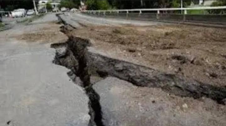
A 4.7-magnitude earthquake occurred near Nairobi, Kenya in the evening on Tuesday, July 16, 2024.
The quake had a shallow depth of 10 km and occurred at around 8:32 pm local time, according to VolcanoDiscovery, which relied on a report by the German Research Centre for Geosciences (GFZ).
The tremors were felt in various parts of Nairobi, including Kitengela, Ruaka, and Westlands, as well as in other areas such as Isinya, Kajiado County, Kirinyanga, Kisii, Nyeri, and Murang.
The tremors lasted for approximately 30 seconds.
The Kenya Rift Valley and the Kavirondo (Nyanza) Rift are the most seismically active areas in Kenya, with earthquakes typically ranging from local magnitudes (Ml) of 2.0 to 5.0.
The preliminary magnitude, epicenter, and depth of the earthquake are subject to revision as seismologists continue to analyze data and refine their calculations.
Based on the initial seismic data, it is likely that the quake was perceptible to many individuals in the vicinity of the epicenter. However, it is unlikely to have caused substantial damage, beyond minor incidents such as objects falling from shelves or broken windows.
According to the preliminary data, the earthquake’s impact on nearby towns and cities is estimated as follows: Magadi (population 14,500), located 15 km from the epicenter, likely experienced light shaking; Kajiado (population 11,200), situated 67 km from the epicenter, may have felt weak shaking; Ngong (population 9,500), 78 km away from the epicenter, possibly experienced weak shaking as well.
Other nearby towns and cities may have felt very weak shaking, including: Kikuyu (population 323,900), located 86 km from the epicenter; Narok (population 36,100), 91 km away from the epicenter; Nairobi (population 2,750,500), 95 km away from the epicenter; Limuru (population 159,300), 96 km away from the epicenter; Athi River (population 24,500), 99 km away from the epicenter.
Saharareporters


Leave a Reply